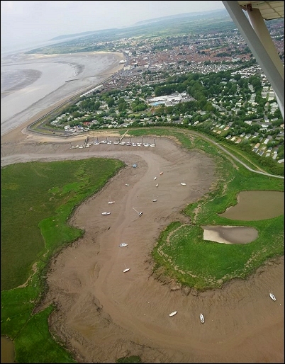
The ever-changing coastline between Burnham-On-Sea and Brean has been captured on camera from 1,500ft above the town this week.
Burnham resident John Woodman took these impressive photos during a microlight flight along the coast with a friend.
He took off from Westonzoyland and flew over Highbridge’s River Brue (right), Burnham and Brean Down.
“As a frequent sailor, I was intrigued to see our coastline from above at low tide to see how the mud and sand is shifting over time in the Burnham area,” John told Burnham-On-Sea.com. “We had perfect conditions – it was a calm day and the cloud cover was about 2,500ft which meant visibility was superb.”
Pilot Martyn Willmington, who flew the Skyranger microlight, added: “I have lived here 55 years and always see something new or that has changed whenever I go up. It’s an impressive sight.”
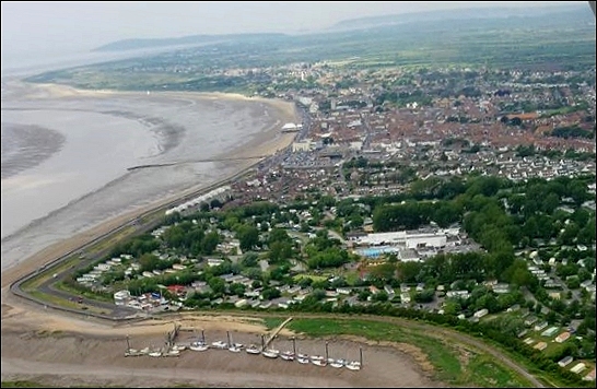
Burnham-On-Sea’s South Esplanade, as seen from 1,500ft above the town
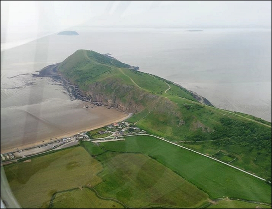
The rocky outcrop of Brean Down stretching out into the Bristol Channel
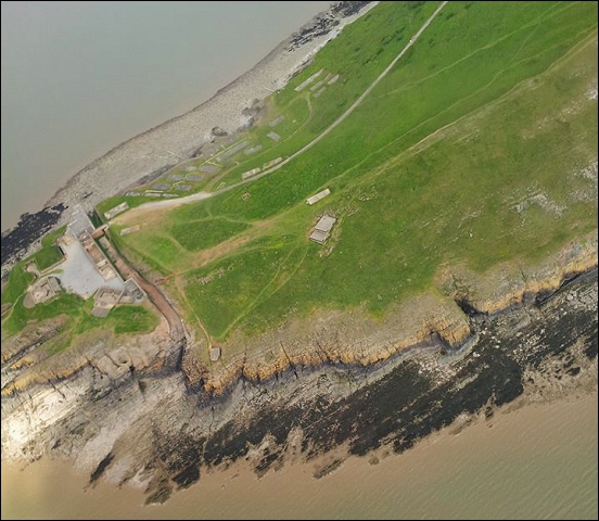
A bird’s eye view of Brean Down Fort from 1,500ft above
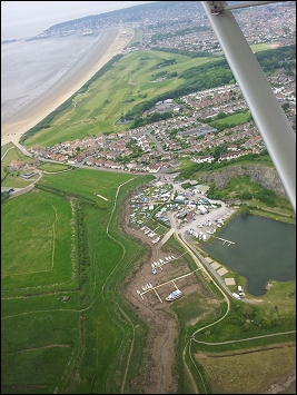
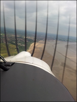
Weston beach and Uphill Marina (left) and Burnham beach (right) seen through the rotor blades of the microlight

