Heavy rain and strong winds are set to return to the Burnham-On-Sea area when Storm Éowyn arrives.
Conditions will start to become unsettled during Thursday, when a yellow weather warning is in place from 7am-6pm for hiugg winds, before a bout of extensive wet and very windy conditions arrives.
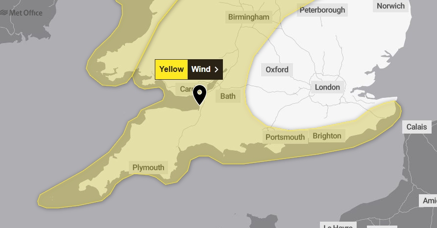
The Met Office has issued a yellow warning for strong winds on Friday from midnight until 9am, which includes the Burnham-On-Sea area.
Winds and heavy rain will peak in Burnham-On-Sea early on Friday morning between 3am and 9am with gusts of around 55mph.
The conditions are being caused by the jet stream quickly invigorating. The current spell of very cold weather in North America will fire-up the jet stream, as the frigid air meets warmth over the Atlantic.
A Met Office spokesman says: “Storm Éowyn is expected to pass close to or across the northwest of the UK on Friday before clearing to the northeast on Saturday. Whilst there is some uncertainty in the track of Éowyn, a spell of very strong winds is likely, initially southeasterly before turning westerly, with peak gusts of 50-60 mph inland, 60-70 mph around some coasts and hills.”
The wind strengths will gradually ease across southern areas during Friday afternoon.
Forecasts indicate some further periods of very unsettled weather are also likely into next week, again bringing a potential for strong winds across the West Country.